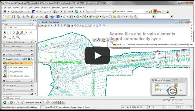
Written by Bryan Sullivan.
AutoCAD Civil 3D has many useful tools to alter and refine the output of surface models. We may want to alter the contour display in an area, such as a building pad or a detention pond. However, we may want to exclude an area of our surface, such as an area that is beyond a right-of-way or property line. Two different ways to accomplish this task are by using a surface mask or a surface boundary.
Both tools can define a surface area we wish to display or exclude and both tools can refine or remove visual elements of the surface. A surface can include both masks and boundaries. So, which one do we use and what’s the difference?
Masks can be used to block out areas of a surface and prevent them from being displayed or to render a section of the surface using a specified render material. Masks can be defined from AutoCAD Civil 3D parcels and from polygon-type objects. Masks can be defined as either an Inside Mask or an Outside Mask.
When you define a mask as an inside type, the portion of the surface inside the defined area is hidden. When you define a mask as an outside type, the portion of the surface residing outside the defined area is hidden.

Inside Mask

Outside Mask
In addition, when defining a mask as Render Only, the display of the surface is not masked, but when the surface is rendered, the render material pattern is displayed.
Masking a surface does not alter the data that is used to create the underlying surface. Masks do not change the surface definition; they only affect the visual display of a surface. Areas that have been masked are included in calculations, such as total area and volume. Masks are limited in that only one inside mask can be defined on each surface and if you use an inside mask you cannot use an outside mask on the same surface.
Boundaries can be used to affect the visibility of the surface triangles inside it. Surface boundaries are defined from closed polygons, such as a closed polyline or a parcel, or from a surface. Boundaries can be defined as Outer, Show, Hide, or Data Clip.
An Outer boundary defines the outer limit of the surface; all triangles inside it are visible and all triangles that are outside are invisible. A Show boundary displays all triangles inside the boundary, like using a cookie cutter. A Hide boundary masks areas of the triangulation, like punching a hole in a surface. A Data Clip creates a boundary limit. A data clip boundary does not affect the visible part of the surface, but acts as a filter on data, such as points and breaklines added to the surface after the creation of a data clip. You can add more than one data clip boundary to a surface. When you add data, only the most recent data clip boundary is affected.
A boundary does alter the data and/or visual output of a surface depending on boundary type. The effect of adding multiple boundaries can be wholly or partially overridden by another boundary. Areas within boundaries may or may not be included in calculations, such as total area and volume. When you use a hide boundary, the hidden surface area is not deleted. The full surface remains intact, but areas hidden by boundaries are not included in calculations.

Original Surface

Outer Boundary Added
Boundaries affect the surface depending on the order in which they are placed in the surface definition. To create multiple show boundaries, you would first create a hide boundary and then add the show boundaries to the surface definition.

Hide Boundary Added

Show Boundaries Added
Masks and Boundaries are excellent surface display tools. Masks can be useful to exclude an area of a surface from displaying in a drawing but still retain all the surface data used for earthwork calculations. Boundaries can be useful to “reign in” large surface models by excluding areas we do not wish to display or to remove surface data we do not want to include in calculations. By determining the area or areas we wish to display or exclude, and whether or not we wish to retain, use or modify the underlying data, we can then determine whether a mask or a boundary is best used in our surface model.
Last Month’s Tips:

thanks for your help