Written by Bob Mecham.
In this tutorial we will assign a coordinate system to a MicroStation DGN file and then export the file to a Google Earth KML file. We will also take a look at Google Map integration with MicroStation.
See all of our MicroStation tips on this YouTube playlist.
Last Month’s Tips:
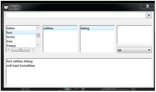
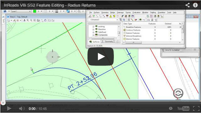
Font Utilities Feature Editing – R… Properly Position GeoTIF…
Don’t want to miss out on other great information? Subscribe to this blog or our monthly eNewsletter now! Learn More ◊ Contact us today ◊ Newsletter ◊