Revit 2018 now has the ability to use Georeferenced survey data from a linked. DWG file.
In the Insert tab > Link CAD Select Center to Center and Open
You can move the drawing to a convenient place in your project.
Then:
Manage tab > Project Location > Coordinates > Acquire Coordinates and select the CAD drawing.
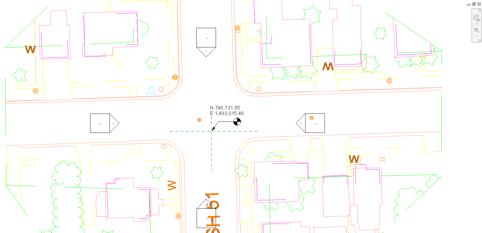
Revit will read the GIS coordinates of the linked file.
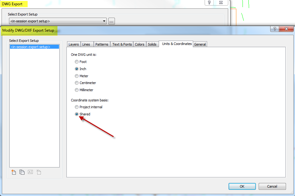
Any Revit model can be linked to this coordinate system and these coordinates can be exported to a DWG using the Shared Coordinates setting.