To generate a report listing the locations of multiple points, use the Point Feature Station Offset Elevation report.

The points which are reported on can originate from most any source. In this example, the green points were created by the OpenRoads Point command. The magenta colored points are ordinary MicroStation graphic points. (Note: one known limitation is that SUDA nodes will not work properly with this command.)
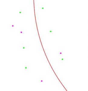
To use this report, first select the points using the Selector tool, then click the Report icon shown above.
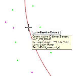
The first prompt is to select the alignment from which station and offset are computed.
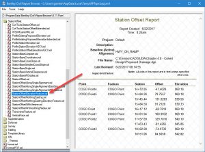
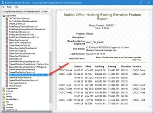
After click to accept the selected reports, the report is generated. The default report which opens first is the Station-Offset-Elevation report. By choosing different report formats on the left, then other forms of the report are possible.
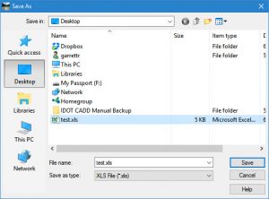
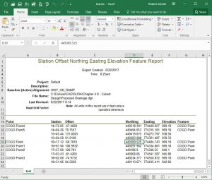
You can also generate a spreadsheet by using the report menu (File > Save As) to create an XLS file.

